NCI hosts its own TerriaJS server which allows easy access to the spatial datasets available from NCI's GSKY data server. It can also be used with other OGC data, for instance, data enabled with OGC WMS endpoints in our THREDDS server (browse our Data Catalogue for details).
Getting started using Terria with GSKY
To use the NCI Terria Map and visualise some of the GSKY datasets:
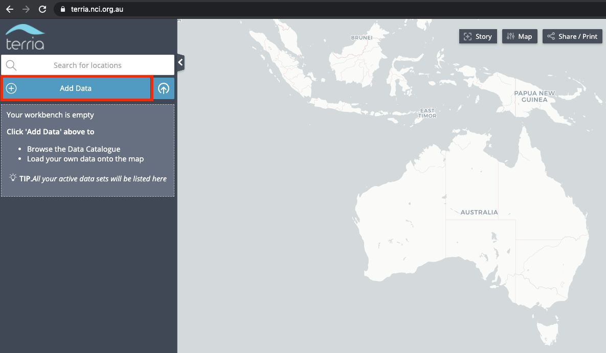
- Go to https://terria.nci.org.au
- In the left hand panel, click on the "Add Data" tab to launch the GSKY Data Catalogue
- Browse the Catalogue to find a dataset of interest. Click on a layer of interest to see metadata related to that layer
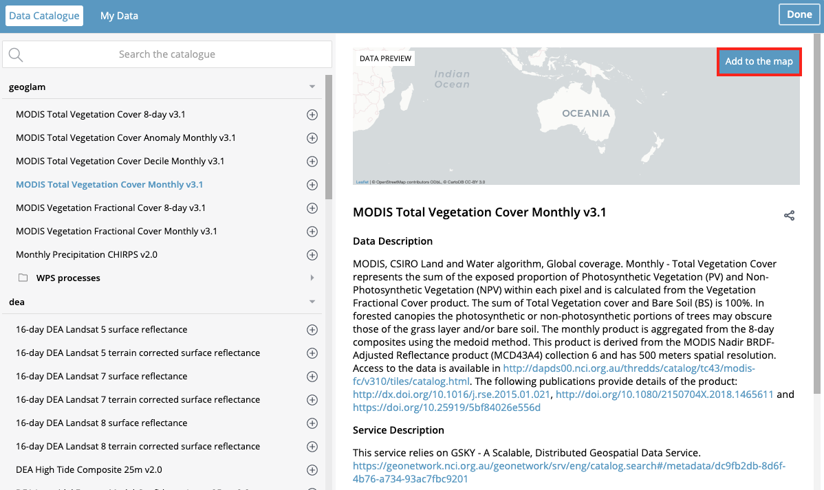
- To add a layer to the map, click the "Add to the map" button
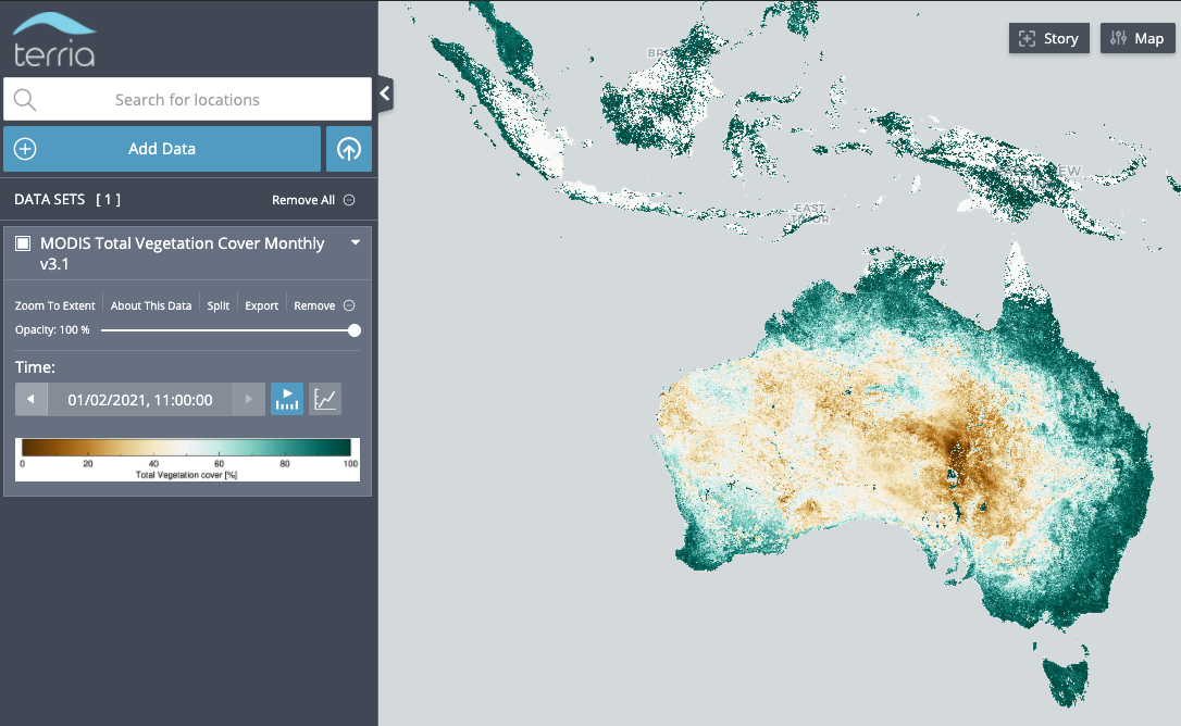
Just click on the "Add Data" to see the various datasets, and then click "Add to Map".